 |
| ships at nuclear sub base |
 |
| nuclear sub |
Once we got to
the day markers in the channel, we now are officially in the Georgia! Yeah!! We still have about 1 hour of incoming tide
so the current is in our favor.
Yes! Now we can really make
time, at least for awhile!! As we
approach King’s Bay, an active nuclear submarine base, I cross my fingers that
there aren't any submarines on the move.
The closer we get to the security zone, the more activity we can see with
2 coast guard boats and 2 patrol boats
guarding the area. Ha, I can even see a
sub hidden behind a black fence. If a
sub starts to move, we’ll have to pull our boat to the side of the channel and
stop with our stern facing the sub…but we made it through that stretch without
being stopped!!
The only other area that we need to be extra cautious with
today is when we cross through the St. Andrews Sound. The ICW route, takes
boats very close to the ocean inlet. Before
we get to the sound, we have time to enjoy a leisurely cruise near Cumberland
Island, a national park, and along the Cumberland Dividing.
This area is just so beautiful. I’ve
got my binoculars out hoping to spot a wild pony or two on the island…nope….the
only wildlife I spotted were waterbirds.
Once through this winding waterway, we are fast approaching St. Andrew’s
Sound. I just read the warning in my
water guide about this sound. They strongly urge boaters to not be in the sound when the winds are blowing 20 +
from the NE…those were yesterday’s conditions.
I’m sure glad we didn't venture away from the dock yesterday. We did consider it! Anyhow, last fall when we went through this sound, a fog
bank rolled in right when we
 |
| G 31 looking toward ocean |
 |
| where is R 32???? |

were approaching the day markers which in place to keep boats off
the shoals. Not good….Today is totally
different. Clear skies, flat water, warm,
and all we have to do is find R32. This
is the critical red day marker that helps all boaters navigate through the
encroaching shoals. All of a sudden, we
caught up with a sailboat and a trawler that were off in the distance. The currents are running strong out to sea
and we are cruising at 9.2 kph. Wow and
we’re still looking for R32. So are the
two boats in front of us. Apparently, that's why they slowed down!! No R32!!! It’s a good thing we have our chart plotter as a guide but it's always best to use the navigation buoys or day markers. Luckily we made it safely around St Andrew’s
sound and into the Jekyll Island Sound to Jekyll Harbor Marina…and it’s only 1
pm.
 |
| bike trail |
 |
| view looking north on ICW |
We debated about going further but
we need to fuel up and so we decided to keep our reservations for the night and
spend the afternoon exploring the
island. So once we got squared away with
the marina office, we borrowed 2 of their bikes and rode about 5 miles of the
20 mile bike path around the island. We
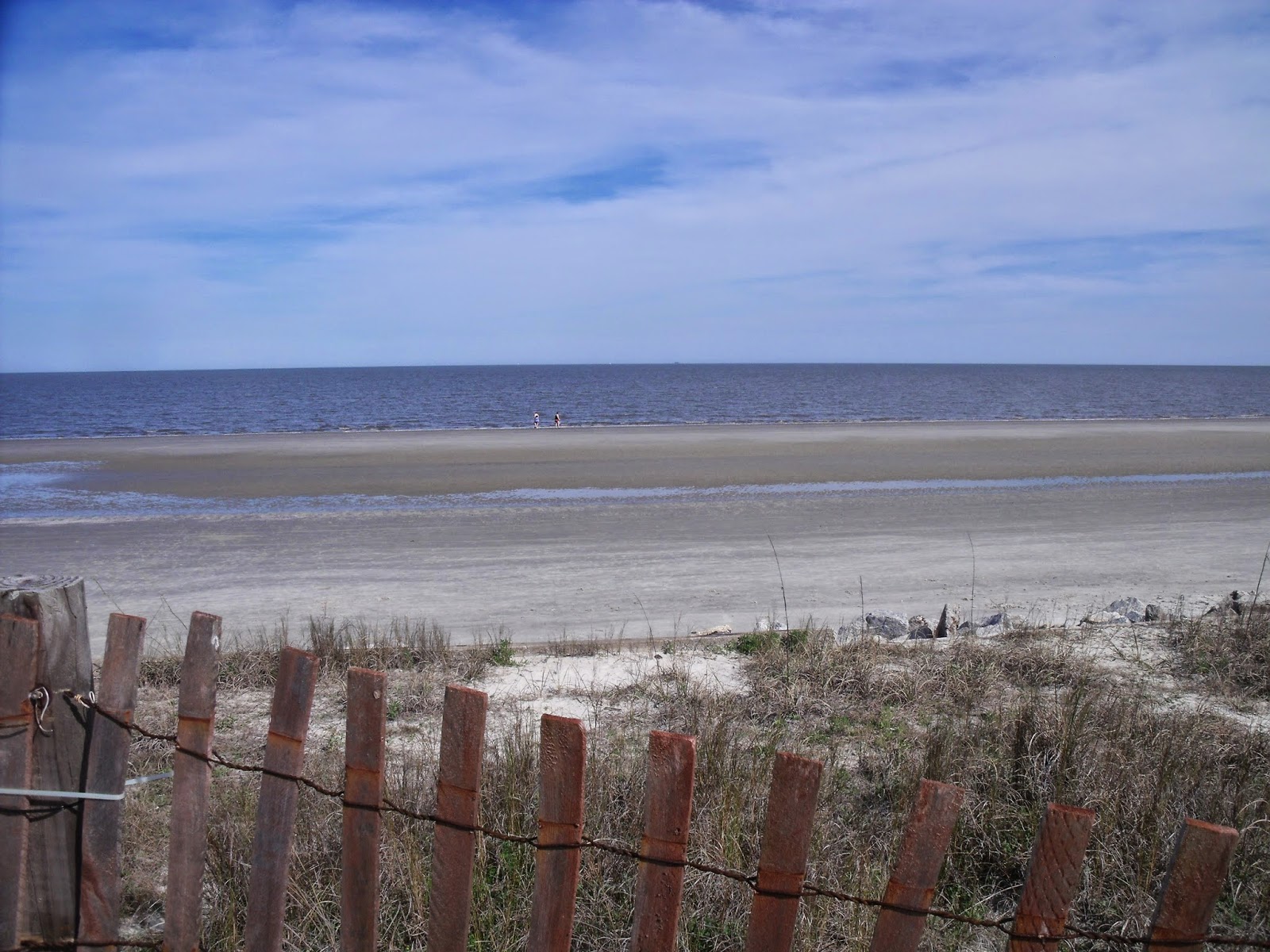
started out pedaling north along the ICW, around the north end to the ocean,
and then we cut across the island and back to the marina.
What a great afternoon. I can't move my legs now, but what a great day!


 |
| Horton House |
 |
| old foundation on Horton land |

bike trail along ocean
Oh, I almost forgot.
When we docked today, a man came over and started talking to us . He knew where Columbiana was located and so
he wanted to know where we kept our boat.
We couldn’t believe it! His name
is Randy Prentiss and he had our dock, G2, at Geneva Marina before we did!!
What a small world…..


 were approaching the day markers which in place to keep boats off
the shoals. Not good….Today is totally
different. Clear skies, flat water, warm,
and all we have to do is find R32. This
is the critical red day marker that helps all boaters navigate through the
encroaching shoals. All of a sudden, we
caught up with a sailboat and a trawler that were off in the distance. The currents are running strong out to sea
and we are cruising at 9.2 kph. Wow and
we’re still looking for R32. So are the
two boats in front of us. Apparently, that's why they slowed down!! No R32!!! It’s a good thing we have our chart plotter as a guide but it's always best to use the navigation buoys or day markers. Luckily we made it safely around St Andrew’s
sound and into the Jekyll Island Sound to Jekyll Harbor Marina…and it’s only 1
pm.


No comments:
Post a Comment